
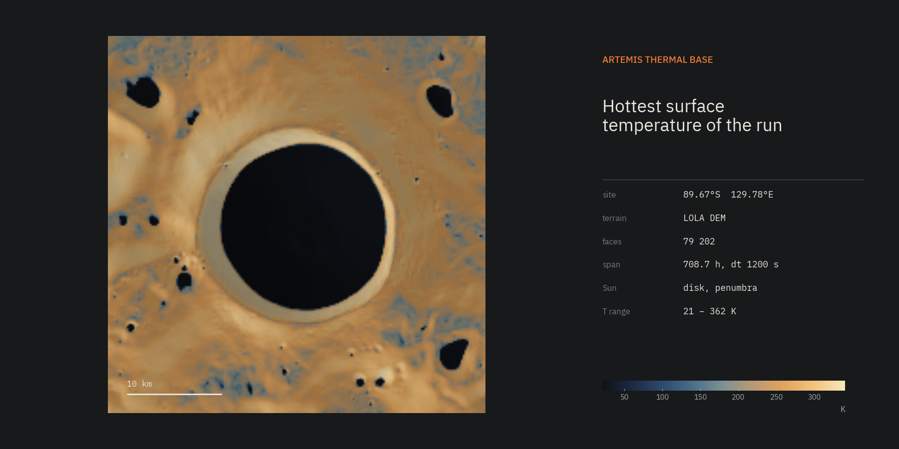
ArtemisThermalBase traces sunlight across real lunar polar terrain and follows the heat into the regolith underneath every facet. It tells you which ground is lit, for how long, how hot and how cold it gets, and where water ice could survive. It runs on an ordinary laptop.
What it computes
For each facet of a digital elevation model and each time step:
- the fraction of the solar disk it can see, with rays to many points of the disk so that penumbra and grazing light near the horizon come out right;
- the sunlight it absorbs, with an angle-dependent albedo;
- optionally the infrared it receives from surrounding terrain;
- the temperature of a 6 m regolith column under it, with depth- and temperature-dependent density, conductivity and heat capacity.
From these come maps of surface temperature, the hottest and coldest a place gets, how much of the time it is in sunlight, and whether water ice there would be stable against sublimation.
Start here
- Getting started: install, first run, real terrain.
- The desktop app: set up runs, inspect results, compare runs.
- Physics: every equation the code solves, and why.
- Configuration: every setting, with its default.
- Outputs: what a run folder contains, for use in your own tools.
What it is not
It is not validated against Diviner yet. The model, the data pipeline and the numerics are tested, and the geometry agrees with NAIF SPICE, but a quantitative comparison with LRO Diviner temperatures is still open. Read Validation and limitations before you put a number from here into a paper.
Licence and citation
MIT licence. If the software helps your work, cite it with the metadata in CITATION.cff, and cite the LOLA, NAIF and thermophysical sources listed in Data.